


How Long Is Samaria Gorge?
The length of the Samaria Gorge has sparked plenty of debate, with various sources offering conflicting figures. That’s why we’ve dedicated this post entirely to unraveling the truth. And if you're planning to hike it yourself, don't miss our unique Audio Guide—the perfect companion to bring along on your journey!
How Long Is Samaria Gorge—Really?
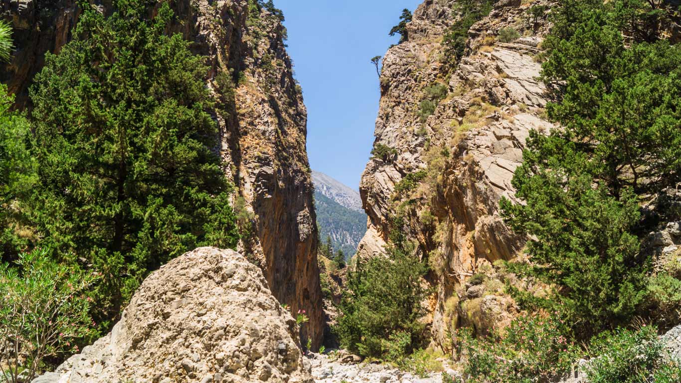
Often celebrated as the longest gorge in Europe, the Samaria Gorge has sparked much debate among bloggers, travellers, and tourists alike. Many online sources claim it stretches up to 18 kilometres, but this figure typically refers to the gorge’s full geographical length—not the actual hiking trail.
Adding to the confusion, the trail doesn’t begin in the main ravine but rather through one of its branches. As a result, reported trail lengths vary widely. Some sources mention around 12 kilometres, which corresponds to the distances posted on official trail signs. Others suggest it’s closer to 16 kilometres, while a few claim it could be as long as 20 kilometres!
To cut through the confusion, our team took it upon themselves to measure the trail with precision. Here’s what we found.

What Do The Map And Greek Surveyors Say?
Officially, the route through Samaria Gorge is approximately 12.5 kilometers long from the starting point at Xyloskalo to the southern exit at Agia Roumeli. As you descend the gorge, you’ll find small signs marking each kilometer, and these measurements are confirmed by Google Maps as well. Thus, the officially recognized, documented, and verified length of the hiking trail is indeed 12.5 kilometers.
How Long is Samaria Gorge: Audiotourista Team’s Hike
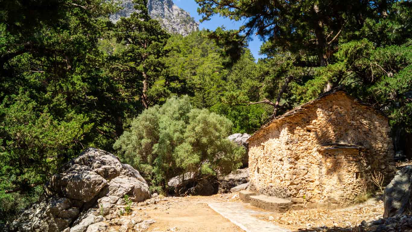
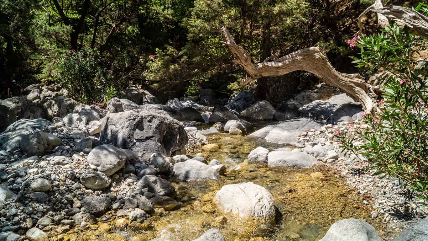
We used GPS on three different phones and a sports activity tracking app to measure how long Samaria Gorge is. The results ranged anywhere between 16 and 18 kilometers. This difference can be explained by measurement errors, as GPS can be unreliable at the bottom of a ravine. Additionally, the official measurements do not account for the trail’s winding nature, as it weaves between rocks. Or for additional detours along the way, such as visiting the village of Samaria, which can add about one kilometre. Therefore, be prepared not for 12-13 kilometres but rather for 15-16 or even 18 kilometres of walking along the gorge itself.
However, the journey doesn’t end at the exit of the national park. There’s an additional stretch to consider when reaching Agia Roumeli. This is the port on the Mediterranean Sea from where you will return to civilization. The end of the trail is approximately 2 kilometres in a straight line from the sea. And it translates into an extra 2.5 kilometres of walking to the port. Although this section of the walk is on a tarmac road and predominantly downhill, it might still feel demanding for tired legs. If you are pressed for time or exhausted from the long hike, there is a convenient bus option available: it covers the last kilometre and a half of the route for a cost of €2 per person (2020).
Explore Samaria Gorge
If you liked this description, you might be interested in our another detailed post. Click How to Get There, How to Get Back, and How to Explore the Samaria Gorge?
You can also visit the Official website of Samaria National Park for more information.
And if you are already in Crete, be sure to download our audio guide. We have a detailed description of the route for you, complete with a map. The app works offline, so you will know where you are at all times. Even in Samaria Gorge.
Inne wpisy na ten temat
Hiking Samaria Gorge
A few words about the trail The trail through Samaria Gorge begins at an altitude of approximately 1,200 metres at Xyloskalo, equipped with